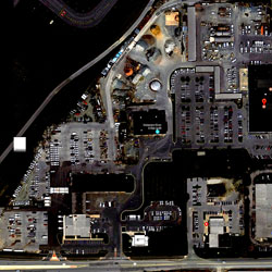
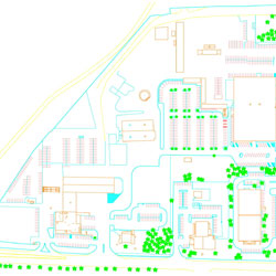
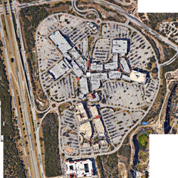
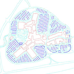
Aerial images can be collected by drone, plane, or satellite, and transformed via analysis into valuable business intelligence.
Some of the applications of aerial image processing are topographic maps, discovery of forest diseases, and cadastral plans. The processing of images representing natural scenes requires significant analysis to make it useful. The work includes pre-processing, segmentation, recognition, and interpretation. At each stage, the quality of the work can have a major impact on the final output.
Aerial image processing requires the handling of forests, road networks, habitation and vegetation. Design Presentation’s team of experts use a wide variety of methods to extract information and classify objects. The surrounding areas are recognized through simple object modeling.
Photogrammetry is the process of using overlapping aerial images to extract exact ground positions for use in the development of maps, orthophotos, point clouds and three-dimensional models. With a single aerial survey multiple photogrammetric inputs can be used to produce:
> geo-referenced aerial images for further stereoscopic mapping
> digital orthophotos
> image based digital surface models
> true orthophotos
Design Presentation is one of the leading providers of aerial image processing and other support services. You can send us your aerial images via Email or Fax and we will get back to you with a quote. You may also view our past work by clicking here.


